
Every project gets its own page.
Maps, findings, reports, photos, and video — organized on one private link your team can open from a desk or a rooftop.
Built for decisions, not for storage.
Most drone companies hand you a link to a folder. We hand you an answer.
Interactive map viewer
Visible and thermal maps of the same roof, lined up. Swipe between them, view side by side, or blend — and zoom in to seam-level detail.
Findings on the map
Every issue is numbered, color-coded by priority, and pinned where it is. Tap a finding and the map flies to it.
Decision-ready reports
What we found, where it is, and what to do next — in plain language. View it in the browser or download the PDF.
Everything in one place
Photo galleries, flyover video, 360° tours, and project files live right beside the map. No digging through email.
One page per client
All of your projects on one page, newest first. Your building history stays organized year after year.
Built for phones
Pull it up on the roof with the crew or across the table from the owner. It works the same on any screen.
Drag the slider.
This is the same roof in visible light and thermal. On your AtEase page, the full maps are live — you can zoom, pan, and click straight to each finding.
- Warm areas can point to wet insulation under the membrane
- Cool, sharp-edged areas often mean standing water
- We flag what's worth verifying — and say so when something is just a surface difference

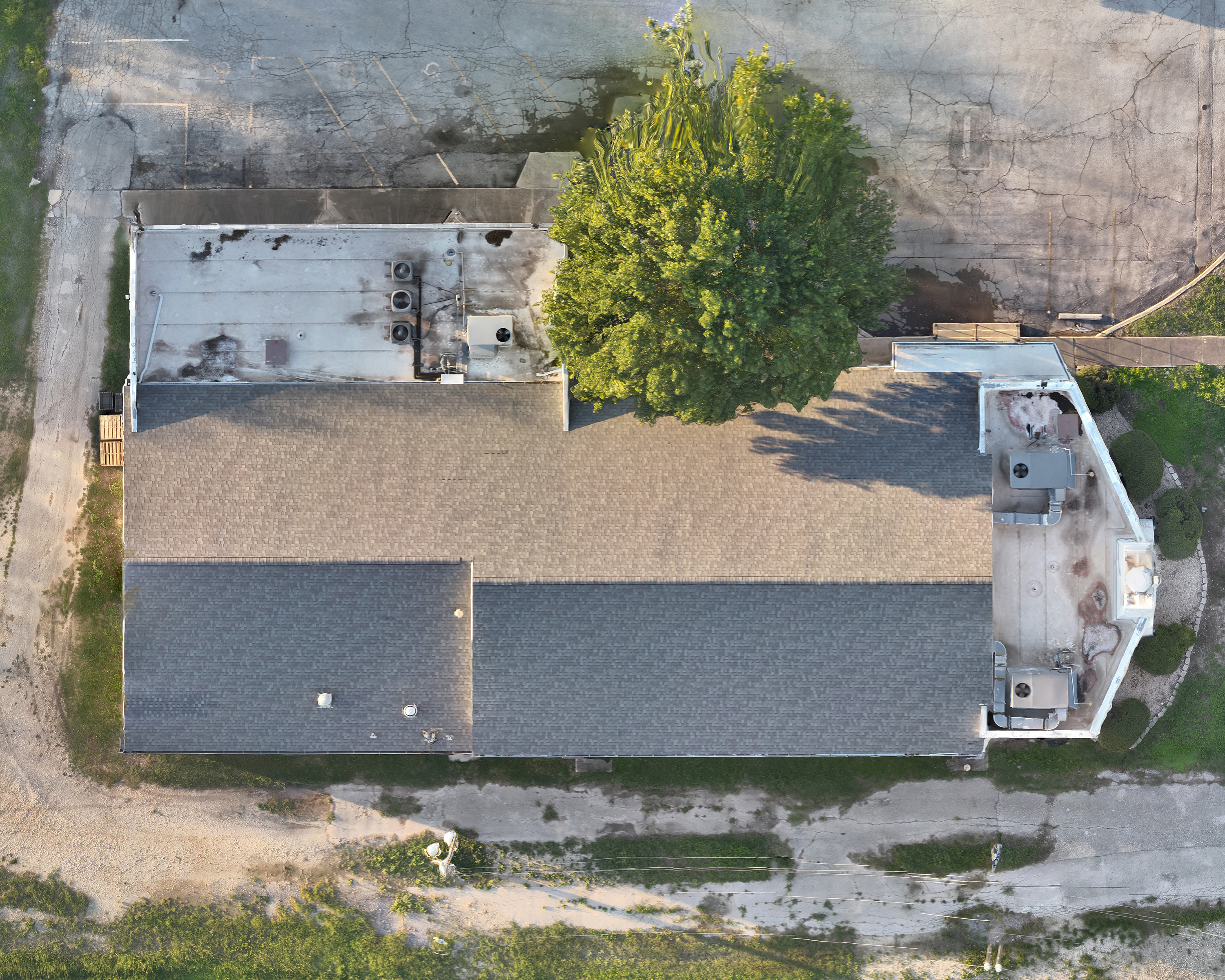 VisibleThermal
Drag the slider · visible vs. thermal
What you usually get vs. what you get from us.
A typical drone delivery
- A shared folder with hundreds of loose photos
- You figure out where each photo was taken
- Thermal images with no context or explanation
- A PDF that gets lost in someone's inbox
AtEase™ from Precision Aerial Optics
- One organized page per project
- Every finding pinned on an accurate map
- Thermal lined up with visible, with plain-language notes
- Report, files, and project history on one link
Want to see one built for your building?
We'll walk you through a live AtEase page and talk about what your project would look like.